After a myriad of projects that involved mapping specific areas in New Orleans, I decided to construct re-draw a multi-layered fully editable system of routing with typeset street names for the entire city, over a few cold evenings in Berlin.

Client: Preservation Resource Center
New Orleans
Editor: Danielle Del Sol
prcno.org
Roll-fold Posters
21.5 x 15 in.
Edition of 3000 each
Printed in Canada
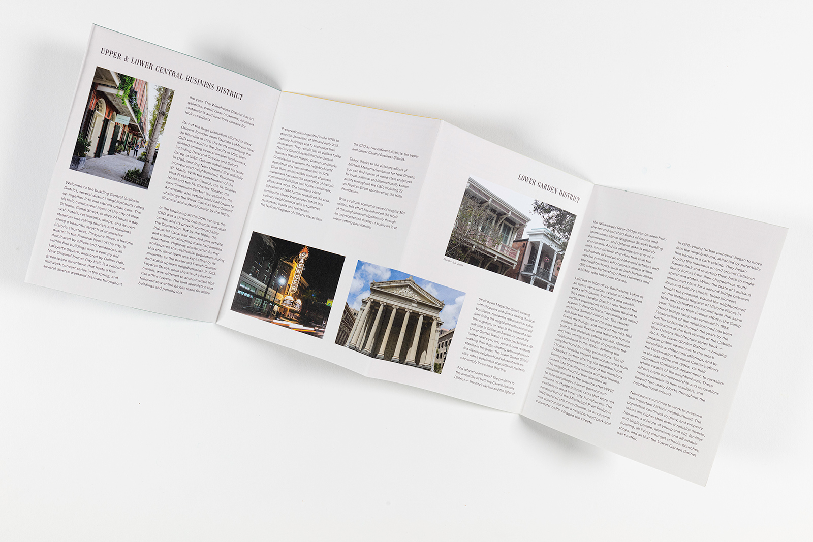
Coincidentally around the same time of working on this mapping project, I had been in touch with the Preservation Resource Center about a few ideas I had for an update of their outdated city-wide tri-folded set of walking tour guides. While acting as a historical document of sorts that included businesses and photography of late 90’s and early 2000’s New Orleans, much of the landscape had been altered from Katrina, I felt the guides could be updated somehow to reflect these new realities.
Working with Danielle Del Sol, the two of us somehow hammered out new text, acquired photography, authored walking tours, re-drawn neighborhood districts, and noted landmarks, all the while proofing what was basically a newly hand-redrawn version of the city with all of its idiosyncrasies over seven foldout brochures. The color scheme and serif typesettings for the project, felt natural in its application and coincidentally fit within their other internal branded projects, unbeknownst to me at the time. It was a moment that certain stars were in line and was definitely a monumental task that I think fondly of, working side by side that following Summer in New Orleans.