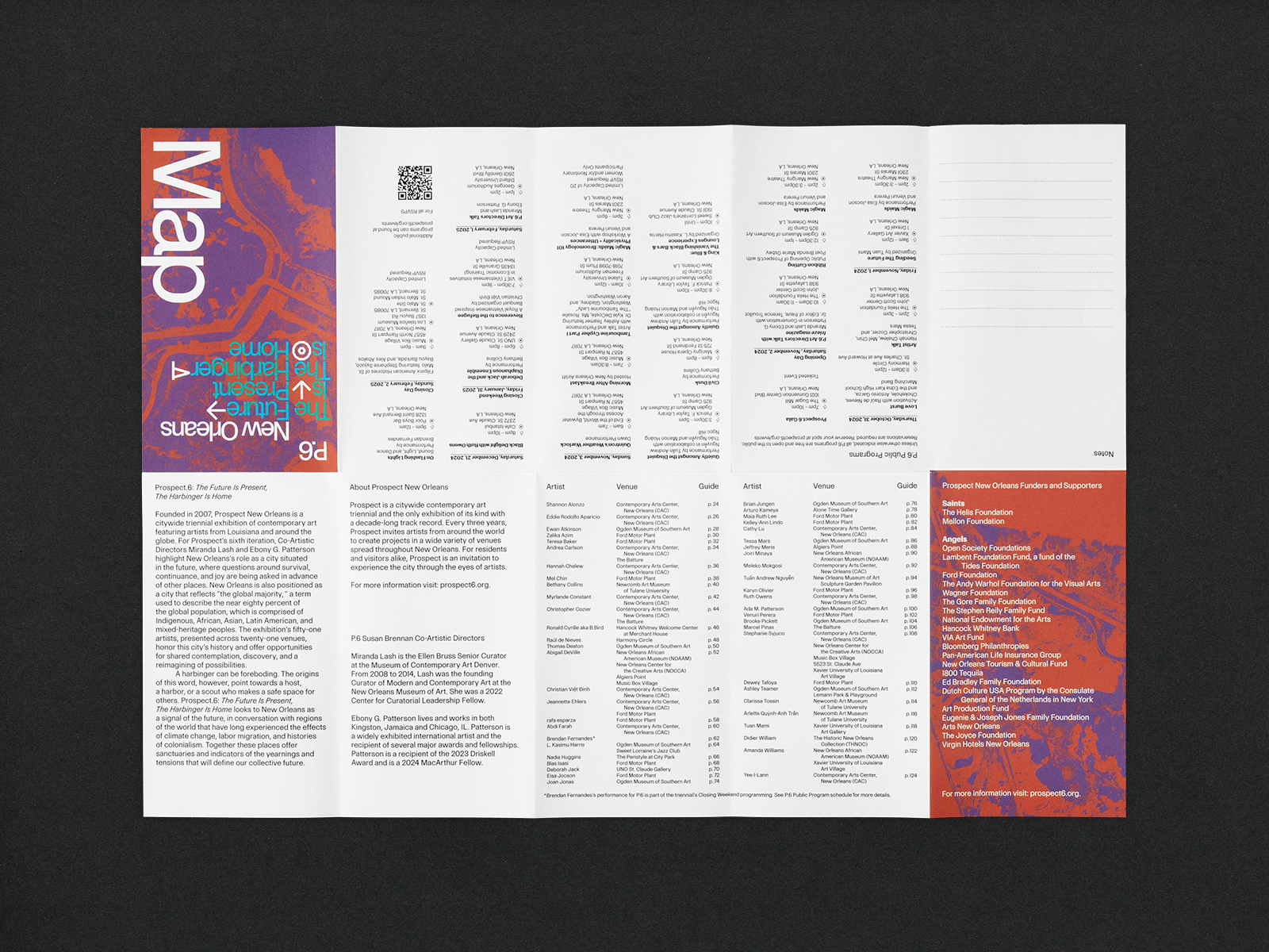
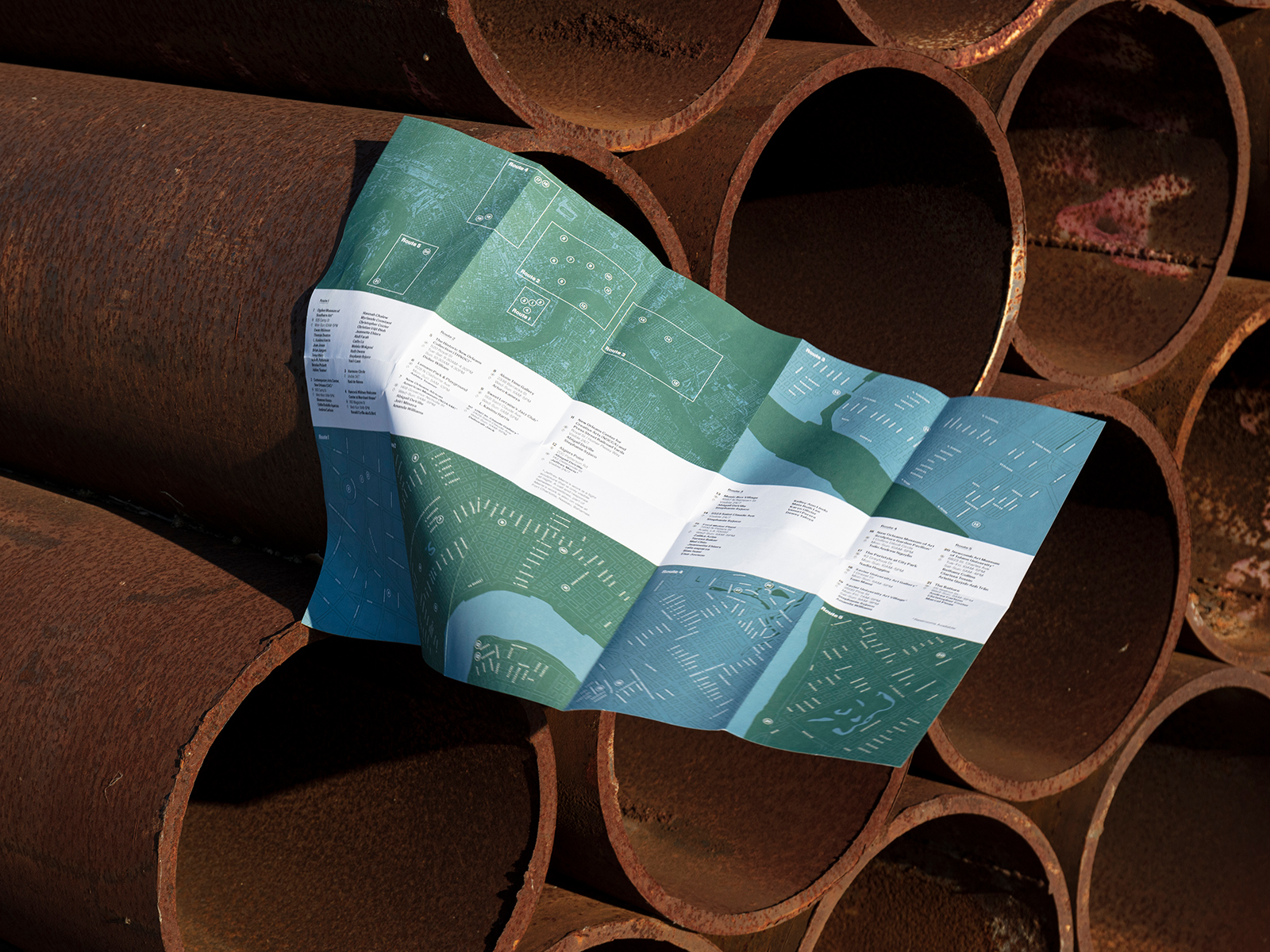
Over the past 20 years, Prospect New Orleans has been mired in functionally unusable, ornamentally representational, or non-existent mapping during their city-wide programming. Co-curators Miranda Lash and Ebony G. Patterson invited me to guide the project, alongside editor Ana Clara Silva, to create a document that would contain all pertinent information a visitor or local alike would require to navigate the various exhibitions around the cityscape.

Client: Prospect Biennials
Editor: Ana Clara Silva
P.6 Branding: WRKSHPS
prospect6.org
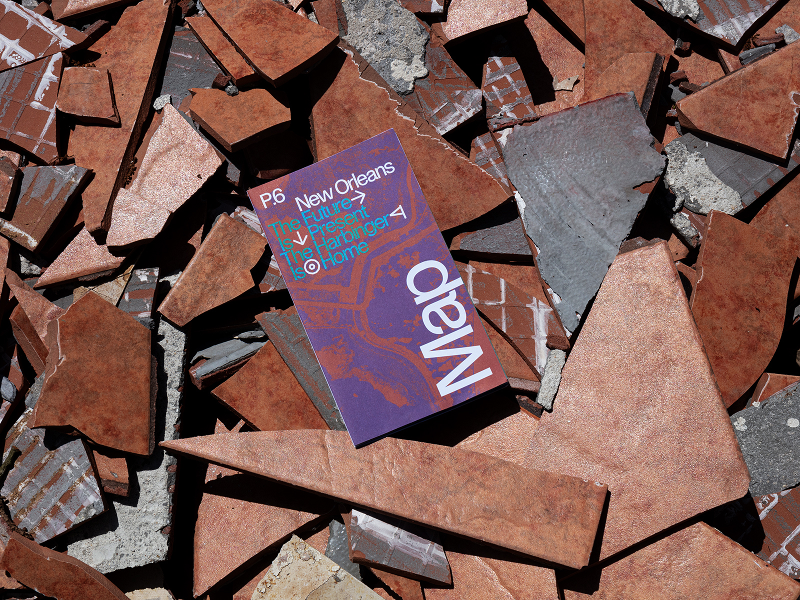
Accordian Poster/Map
20 x 14 in.
Edition of 2500
Printed in New Orleans
With only a month before the opening, I was tasked to produce a map of the venues for the citywide exhibition. As a collector of place-based / art institute and biennial maps from around the world, there were many best practices to pull from and introduce to the biennial’s informational guide.
Working with an entire city map that I had compiled and designed over the years, much of the heavy lifting was accounted for. However, it was important to the team that the breadth of disparate locations could be visualized within the landscape of New Orleans in its entirety. My proposal included the idea of clustering venues together within certain neighborhoods that could then be explored as a daytrip of sorts for the visiting art viewers. It was then possible to drill down on these specific areas, or ‘routes,’ to contain them in separate panels, while cross-referencing them to the zoomed out whole.
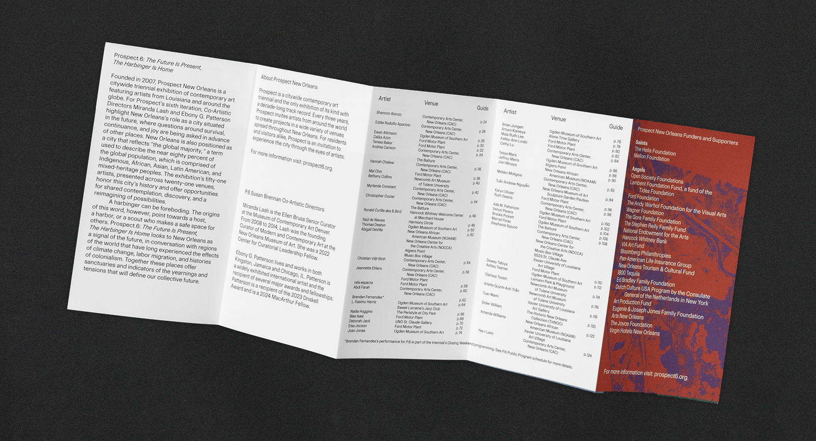
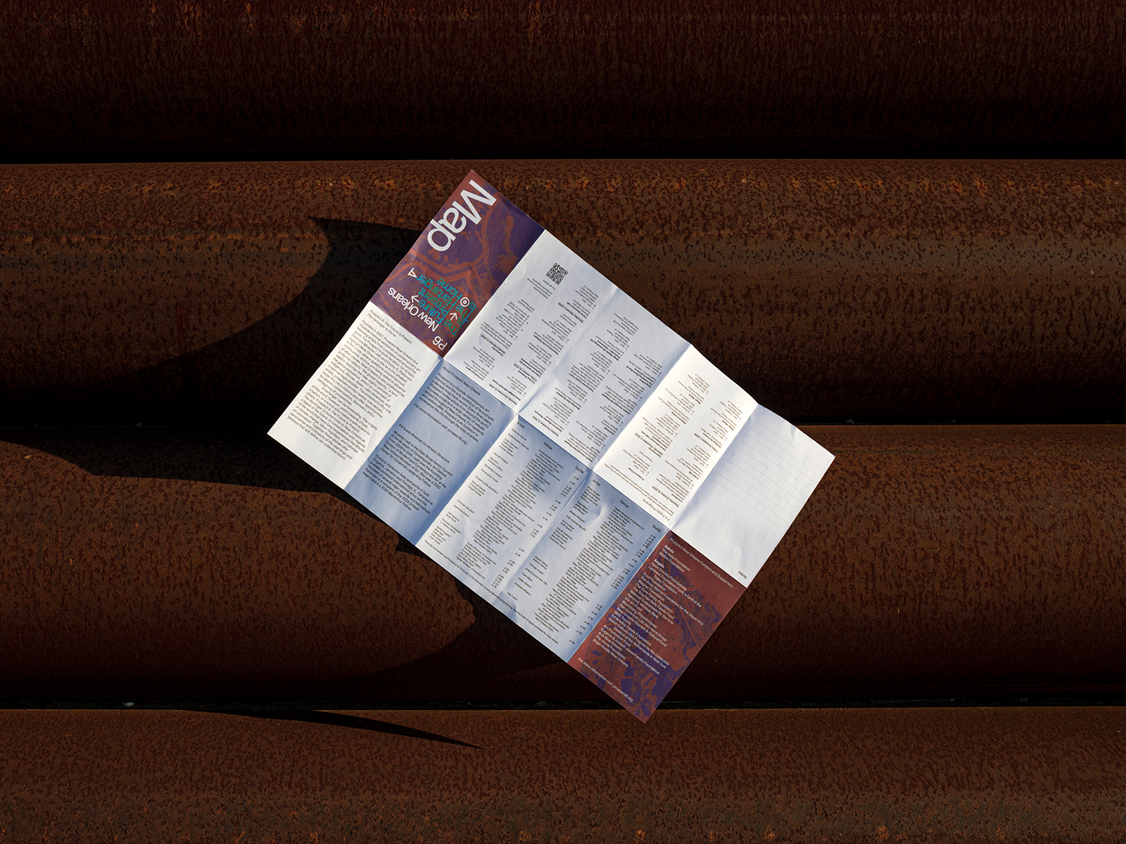
Additional to my proposal included the biennial’s programming event venues and related information, an artist index for specific venue locating, and a panel for note-making. Luckily, we were able to implement these elements and have them printed before the opening of the biennial.